
Logistics
Getting Every Package And Person There On Time
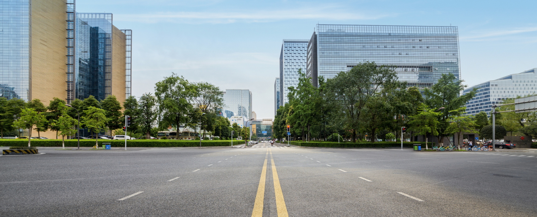
Logistics and mobility services optimize rider and delivery routes by extracting last-mile data from street-level imagery, including turn restrictions, speed limits, road closures, and parking availability.

Transportation
Keeping An Eye On Road and Rail Safety
Street-level imagery enhanced by machine learning capabilities offers transportation agencies, road engineers, and rail operators new methods to remotely monitor safety standards, check pavement conditions, and inventory right-of-way or rail assets.
Telco
Building Stronger Connections Around the World
As telecommunications providers race toward 5G and fiber rollouts globally, street-level imagery is a source integral data for network planning, including pole conditions, building shadow,
pavement material, and vegetation.
Utilities
Keeping The Lights On With Eyes In the Ground
Street-level imagery provides utility providers with a valuable tools for stormwater management, pole
inventory, and infrastructure maintenance.
Insurance
Assessing Property Value, Claims, and Risks
While street-level imagery has been an established resource for property appraisals and claims processing; machine learning is advancing the automation of methods like measuring height, recognizing building material, and detecting structural weak points to assess risk.
Environment
Advocating for Climate Resilience And Risk Management
Street-level imagery tells compelling stories and offers a rich data source to rally aid for vulnerable communities as they brace for impact from tropical storms, earthquakes, and coastal erosion.
Emergency Response
Showing Up to Save Lives
Fresh street-level imagery helps to keep maps updated to route first responders to the right
location and provides situational awareness when its critical.
Urban Development
Design New Cities
In-citu street-level views of development sites help architects, urban planners, and real estate developers make data-driven decisions.